
Spatineo Discovery is built to streamline the way you find and access geospatial data. Instead of switching between multiple external portals, you can now search and validate services and add them easily to ArcGIS Pro.
As Spatineo Discovery becomes part of your daily workflow, we want to ensure you get the full benefit of the product.
Using Discovery is designed to be easy and intuitive—here is a quick overview of how it works in practice:
Describe your task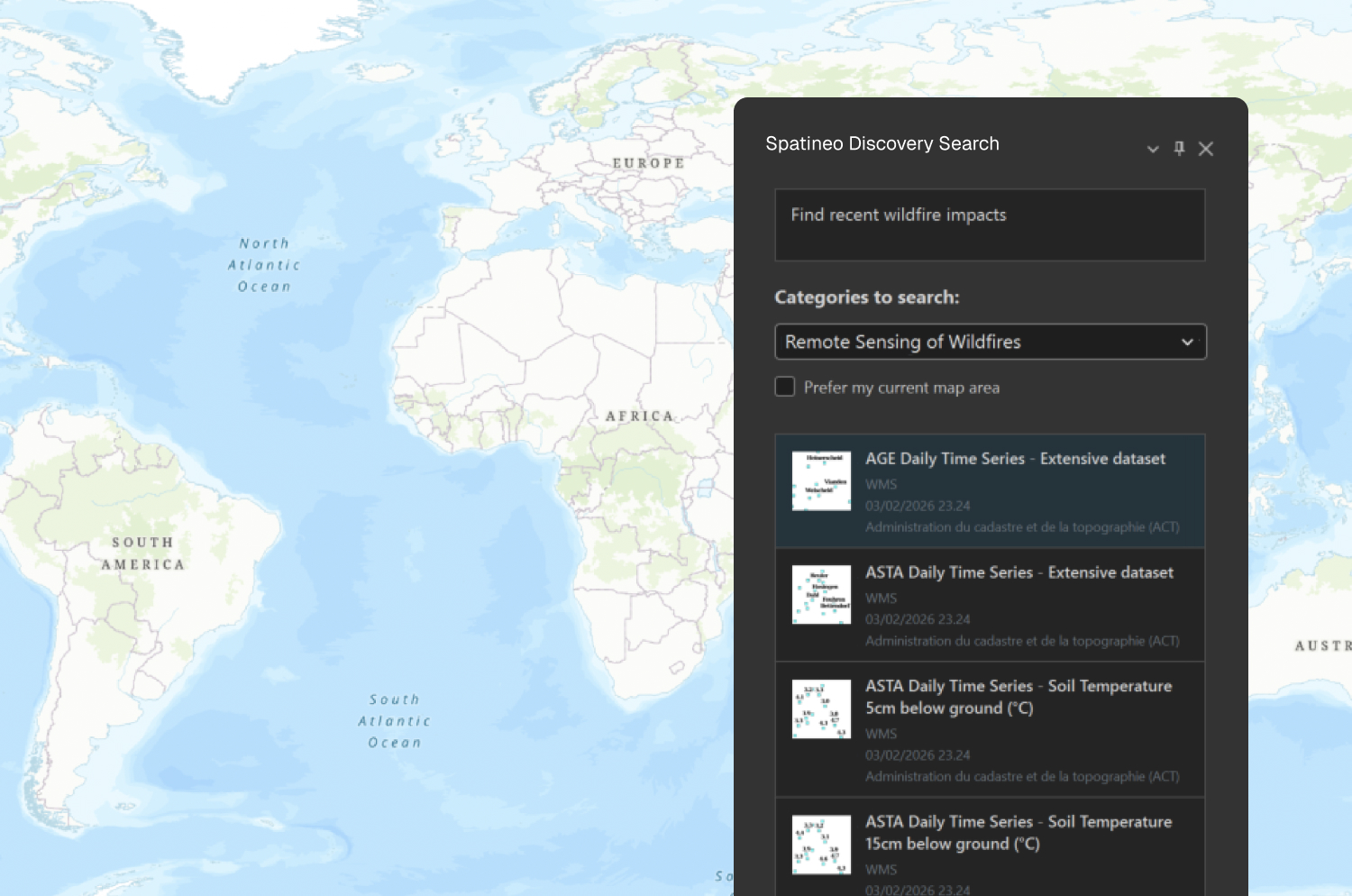
Tell Spatineo Discovery what you need. Our AI-powered search finds the most relevant datasets for your specific use case.
Review results and get suggestions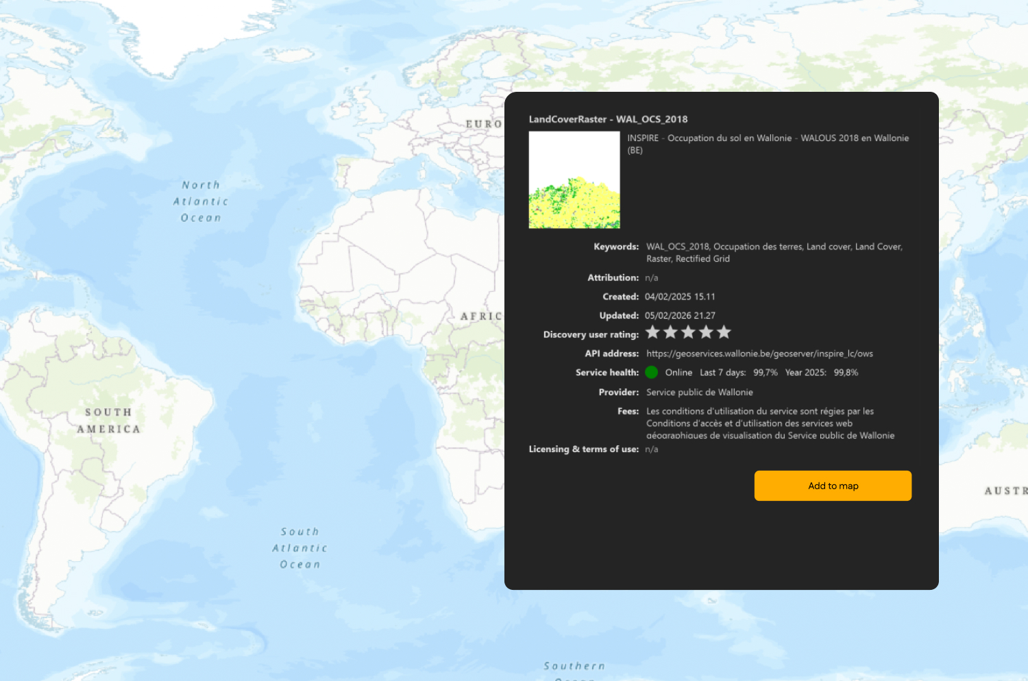
Explore suggested geospatial services tailored to your task and pick which options best fit your project. You can add a layer to your project directly from the button in the dataset view.
Add data directly to ArcGIS Pro
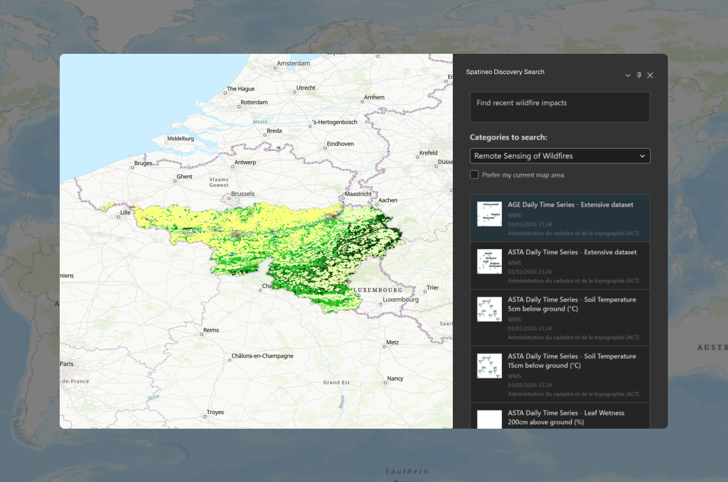
Import task-relevant data to your project with one click and move straight into analysis.